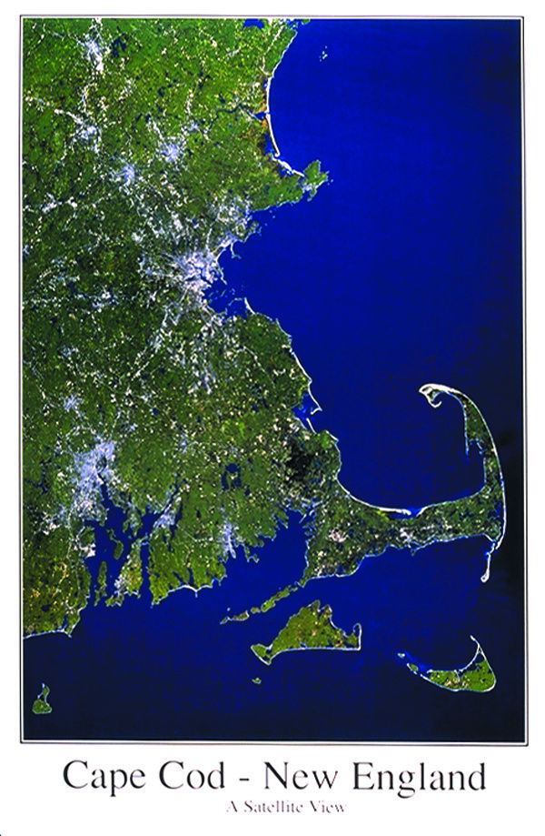
Cape Cod / New England From Space Satellite Map is 25x39 inches, (63x99cm). Image size on the poster is 33.25" x 22.75". Landsat 5, 435 miles from space 1” = 4.2 miles. This area comprising 3 ½ states of the NE United States, New Hampshire, Massachusetts, Rhode Island, and Connecticut. Excellent harbors and nearby shallow banks teeming with fish made has made New England a fishing and commercial center. Boston has long been the chief urban center of New England as seen on the lower righthand side of this image; New England has long been a leading literary and educational center of the country, having some of the foremost universities in the United States. This image covers Nashua, NH down to Pawcatck, and Block Island.
Cape Cod / New England From Space Map
SKU: 1047
$9.99Price

